Washington County
Wildfire zone and defensible space in St. George
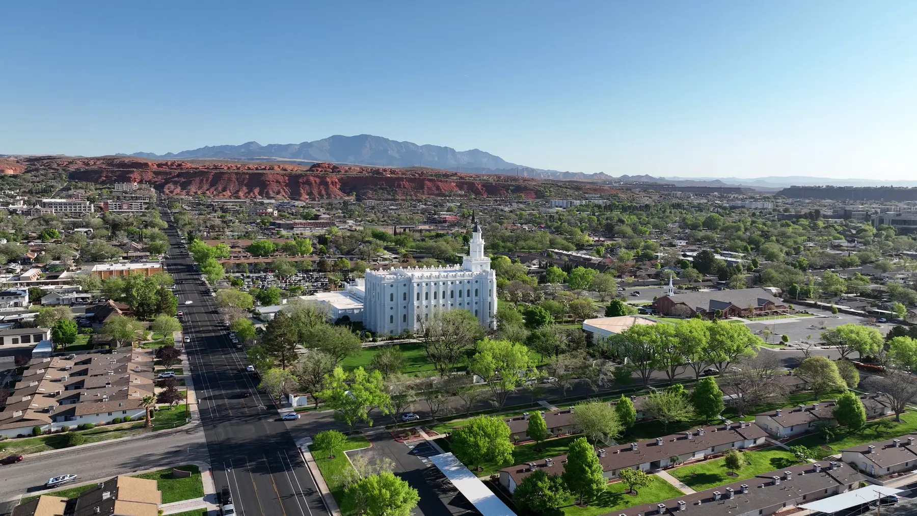
In St. George the high-risk addresses are mostly on the edges of town, where neighborhoods meet open desert, washes and hillsides. Wildfire is also part of why insurance costs have climbed in southern Utah.
~4,000
addresses in the high-risk boundary
In St. George City and nearby unincorporated areas. Washington County has about 16,447 in all.
Counted November 2026, from the state's December 2025 map.
What St. George owners face
If your lot is inside the boundary, Washington County will bill a yearly wildfire fee starting in 2027. From 2028 the fee depends on your lot's risk score, and lots that haven't been assessed pay the top tier.
Insurers must use the same state map when they label a property high-risk, so the boundary can matter for your premium too. The work that lowers your score — clearing and hardening — is also what insurers look for. How the fee works.
Typical costs
Defensible-space clearing typically runs $1,400–$8,500 for a one-acre lot, with $500–$1,600 a year to keep it up; ember-resistant vents run $1,500–$3,000. Full cost guide.
Common questions
Is all of St. George in the high-risk zone?
No. The state draws the boundary lot by lot. About 4,000 addresses in St. George City and nearby unincorporated areas fall inside it. Check your exact address above.
When will St. George owners see the fee?
The yearly fee starts January 1, 2027 and is collected by Washington County. It's $20–$100 per structure based on size, then switches to a risk-score-based fee in 2028.
I don't live here full-time. Can the work still get done?
Yes. Tick the box on the quote form and the crew will coordinate access with you and send dated before-and-after photos.