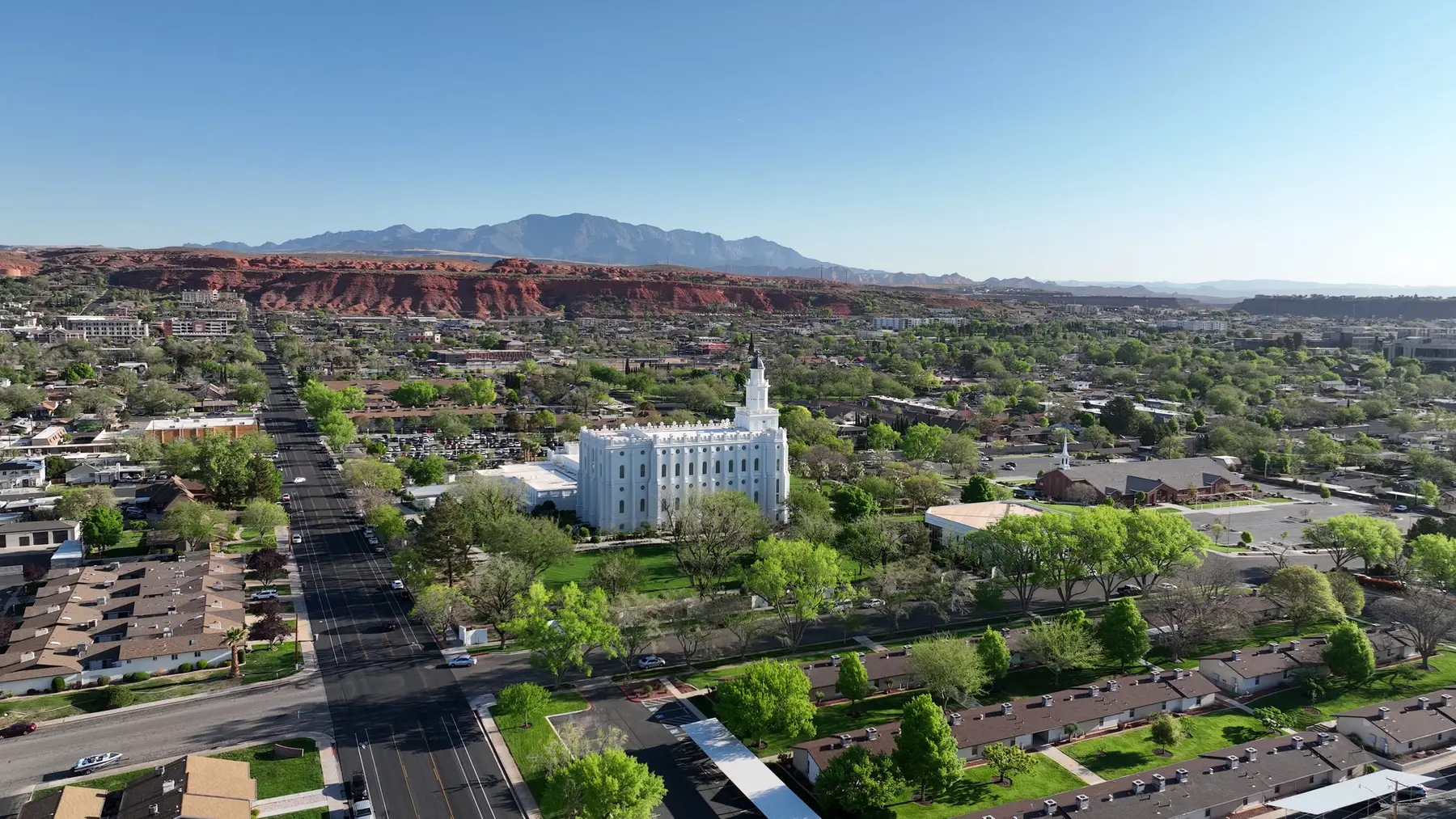
Areas
Where Utah's high-risk wildfire zone is
About 66,700 Utah addresses fall inside the state's high-risk boundary. Most are in southern Utah and the Wasatch Back — the Wasatch Front suburbs have very few, and Davis County has none.
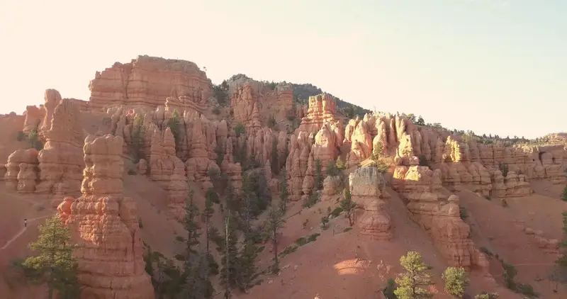
Cedar City area
addresses in the zone
~6,900
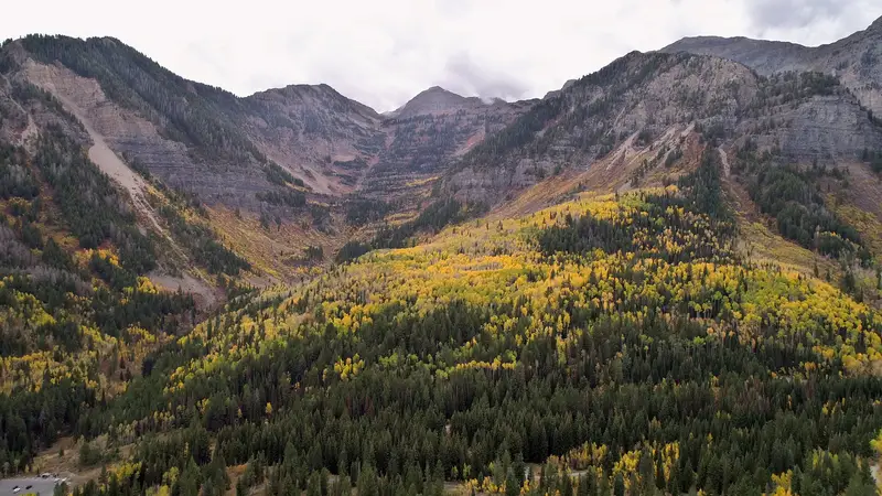
Heber Valley
addresses in the zone
~4,400
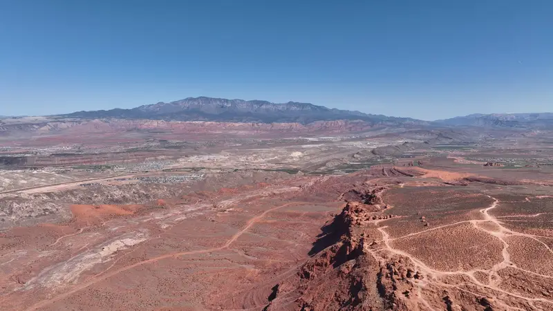
Hurricane
addresses in the zone
~4,200
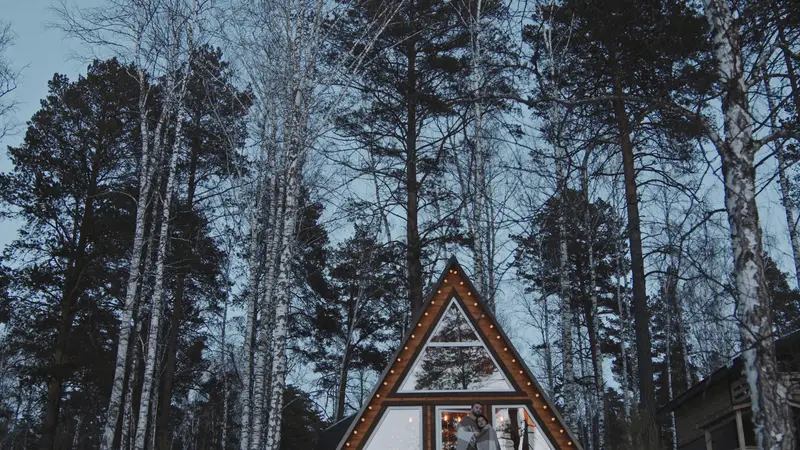
Duck Creek Village
addresses in the zone
~4,200
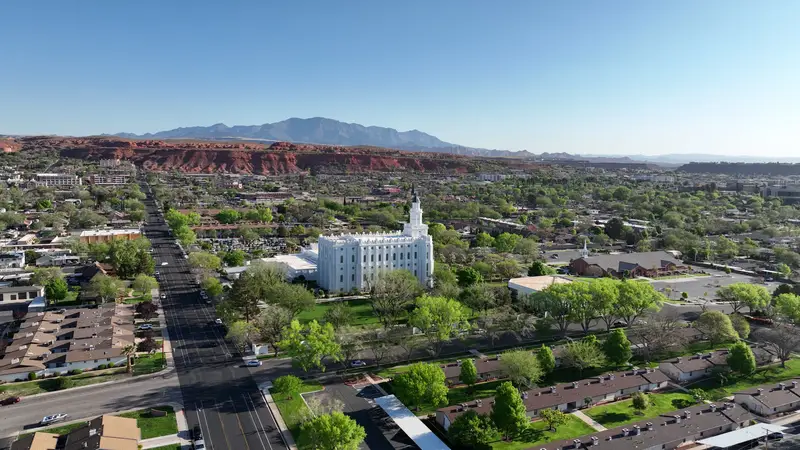
St. George
addresses in the zone
~4,000
Park City & Summit Park
addresses in the zone
~3,700
Brian Head
addresses in the zone
~3,400
Salt Lake canyons & foothills
addresses in the zone
~2,350
Panguitch Lake & Hatch
addresses in the zone
~2,300
Tooele & Grantsville
addresses in the zone
~2,200
Pine Valley, Central & Dammeron Valley
addresses in the zone
~1,950
Ivins & Kayenta
addresses in the zone
~1,840
Approximate addresses inside the state's high-risk wildfire boundary (Utah FFSL map, Dec 2025), counted from Utah address points. Rounded.
More areas
- Herriman · Salt Lake County~1,440
- Hideout · Wasatch County~1,250
- Kamas Valley & Oakley · Summit County~1,030
- Garden City & Bear Lake · Rich County~1,030
- Washington City · Washington County~880
- Ogden Valley (Huntsville, Eden, Liberty) · Weber County~820
- Eagle Mountain · Utah County~810
- Kolob · Washington County~730
- Toquerville · Washington County~700
- Leeds · Washington County~630
- New Harmony · Washington County~570
- Midway · Wasatch County~510
By county
- Washington County16,447
- Iron County11,943
- Wasatch County6,862
- Kane County5,290
- Summit County4,942
- Salt Lake County3,797
- Garfield County2,881
- Tooele County2,625
- Utah County2,572
- Duchesne County1,060
- Daggett County1,046
- Rich County1,037
- Weber County836
- Sanpete County783
- Sevier County779
- San Juan County619
- Beaver County601
- Grand County502
- Juab County457
- Carbon County423